Real-time site
visualization system
「GeoViz」
Boost efficiency from on-site analysis to report creation — all in one powerful solution.

Real-World

3D Digital twin
Product Overview

Our system collects and integrates real-time data from a range of sensors—such as LiDAR and GNSS—installed on construction machinery and at job sites.
It visualizes terrain, machine positions, and more in an interactive 3D space.
With built-in tools for automatic metric calculation and report generation, you can effortlessly monitor site conditions and keep accurate records.
This solution is available through a flexible licensing model.
Features
-

Real-Time
InsightStay on top of ever-changing site conditions with real-time processing and visualization powered by our proprietary point cloud recognition technology.

-

Automated Metrics &
ReportingInstantly calculate key metrics—such as volume within specified areas or progress rates compared to design baselines—directly from visualized data.
All calculations and report formats can be tailored to your site’s specific needs, significantly reducing the burden of manual measurements and documentation.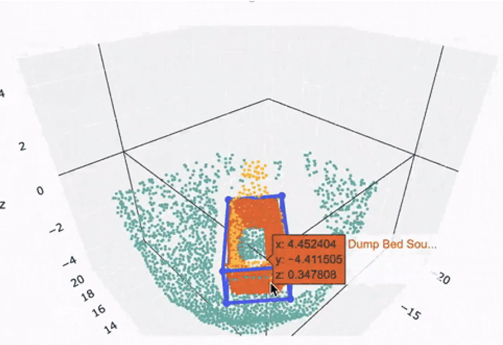
-

Data Logging &
Historical
AnalysisAll visualized data and metrics can be stored as time-series or CSV records.
This archived data supports not only a detailed review of past site activities but also future analysis to drive operational improvements and greater efficiency.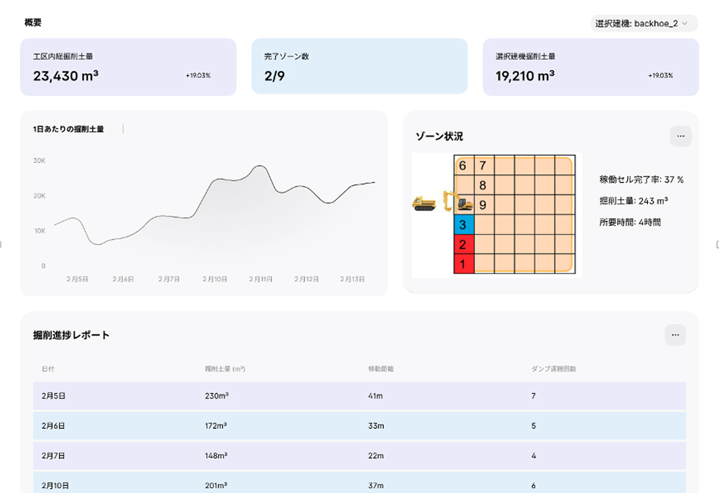


Applicable Use Cases
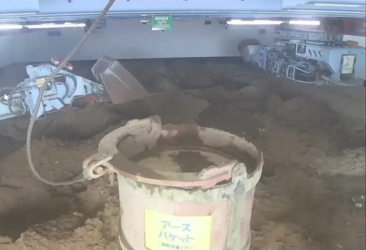
Ideal for operations in hard-to-access environments—such as underground spaces or remote-controlled construction sites.
We’re continuously expanding the range of supported site types.
If you have a specific use case in mind, we’d love to hear from you. Let’s discuss how we can support your project.
-
Pneumatic Caisson Method
-
General civil works
-
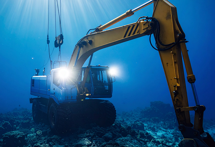
Underwater Construction


Contact
If you have any inquiries or would like to discuss your project, feel free to reach out.